


The moon’s haunting, silver glow illuminated the hillside in front of us, allowing me to conserve the light I’d brought for a worst case scenario, which is exactly what this adventure was turning out to be. Since my Garmin had died hours ago, we weren’t sure of our exact mileage, but were relatively confident that we were only five to seven miles from Kingston Canyon. We were hopeful that we were just one turn away from the final section of the Toiyabe Crest Trail that would lead us home. When we summited the densely shrubbed slope we’d been hiking for the past two hours, we arrived at a saddle and yet another unmarked trail juncture, one with trails shooting off in three different directions. If we’d been thinking coherently, we would’ve made camp at this spot and waited until morning to assess our route options, but we weren’t. Driven by an almost animalistic sense of survival, and fear, we made what would be our biggest mistake of our journey and followed what looked to be solid trail into Carseley Creek Canyon.

The Toiyabe Crest Trail (TCT) stretches 35 miles over rugged terrain. Unfortunately the convenient trail markers disappear after the beginning of the trail.
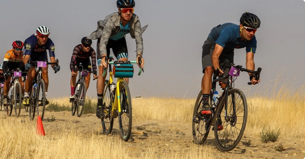
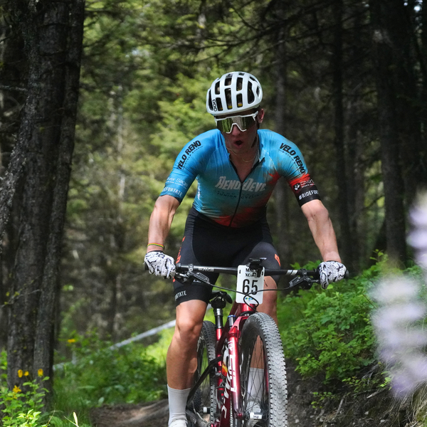
It was a bit of amnesia, or calculated forgetfulness, I guess, that brought me back to the Toiyabe Range of Central Nevada last week for BIKE Magazine. You see, five years ago, to this very week, I got lost on the Toiyabe Crest Trail (TCT) with two other friends. What we thought would be an eight to ten hour 35 mile ride/exploration connecting Ophir Summit with the northern mining town of Kingston along the TCT, turned into a twenty-six hour death march that tested mind, body and spirit. An unplanned camp out on a cliffside at 8,500 ft and the calling of the Fallon, NV, National Guard by our worried family members was not what we had envisioned when we first set out on this adventure. Thankfully we made it off the mountain in one piece and back to Kingston before the National Guard mobilized their search and rescue team to come and scour this hulking Central Nevada mountain range. Blame pride. Blame my unbridled sense of adventure. Blame my short term memory, but here we were again, getting ready to attempt the same stretch of trail, but this time we felt confident that we’d get it right.
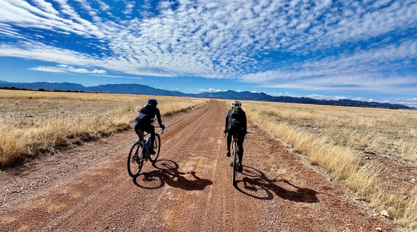
The Toiyabe Range of Central Nevada originates just north of Austin, NV and terminates south of Tonopah in Cottonwood Canyon. It sits in the rain shadow of the higher Sierra Nevada range to the west and is too arid to support forests. The mountains form a magnificent jagged, earthen crest that stretches over 125 miles through some of the most remote wilderness in the state, with over 50 miles rising about 10,000 ft. Arc Dome, Nevada’s largest wilderness area at 115,000 acres, lies within this mountain range. The two highest peaks, Bunker Hill (11,473) and Arc Dome (11,778 ft.), tower over the parched desert valley floor that flanks the range to the east and to the west. In the lower elevations the flora is diverse, with everything from juniper and mountain mahogany to sage brush and wild rose. Once you get over 10,000 ft, though, the mountains take on a more sinister and severe look, as very little grows in the oxygen deprived environment. Jagged, weathered scree of schist, quartzite or slate, covers the upper slopes, and fans out into many of the mountain meadows, cascading down like great waterfalls of rock from the high peaks.
“It’s said that a goal without a plan is just a wish”
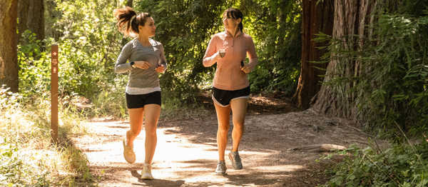
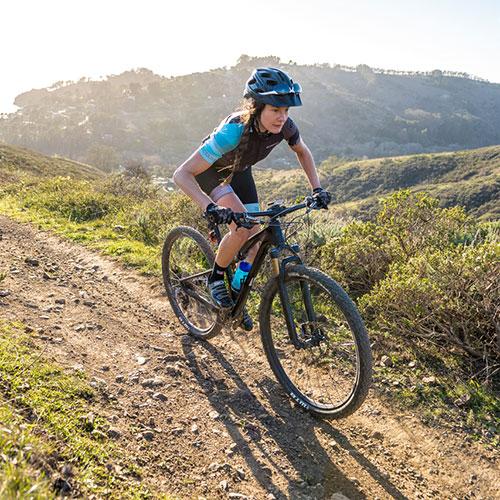
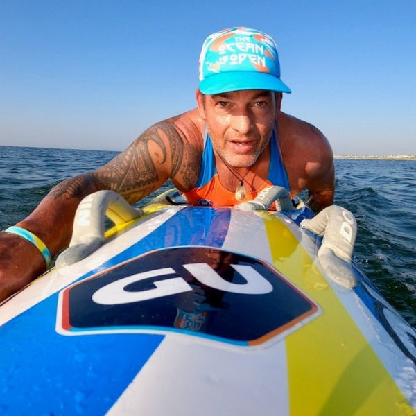
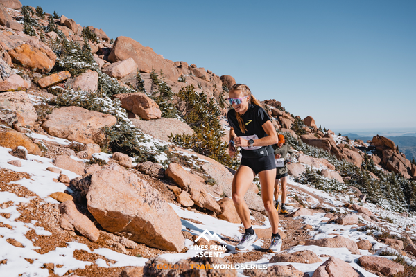
The team included John Blackwell, Chris Brown, Kurt Gensheimer, and photographer Scott Markewitz.
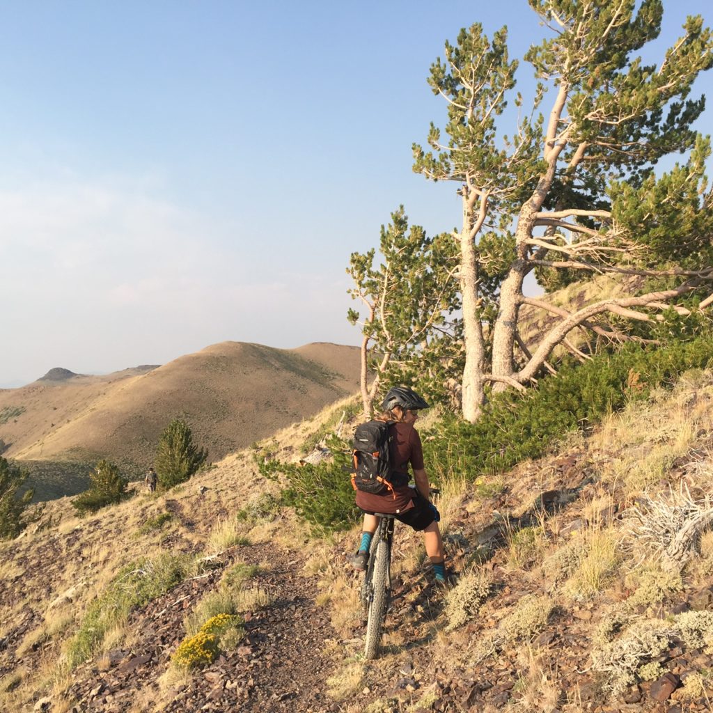
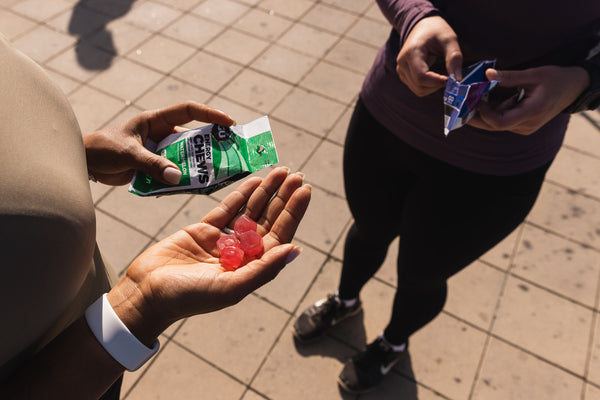
It’s said that a goal without a plan is just a wish, so this time around we made sure that we’d done our topographical homework, had the requisite water filter/space blanket/medical kit/food supplies, and had a proper plan to see the five of us through the Nevada high country. To ensure we got the most out of the day, we spent the night at 9,000 ft., just below Ophir Summit, which allowed us to get an early jump on what we knew would, surely be, a very long day….even with a proper plan.
Stay tuned for part 2.